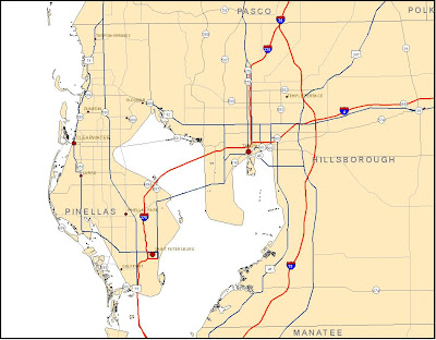
 This exercise was a good supplement to the Cartography class's section on labels and annotation. I'm surprised that it did not cover the 'Change labels to annotation' function.
Item 2: Recreation from 'Add Custom Text to your Maps'
 The ability to use the spline labels and call-outs will be very handy in future assignments.
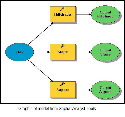
Item 3: Screen snapshot of model graphic from 'Working with Spatial analyst Tools'

The model graphic seems to be a basic flow chart, providing a visual representation of the process.
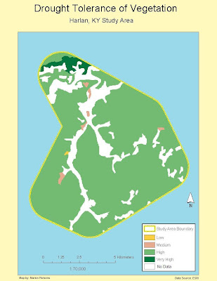
Item 4: Reclassed vegetation map from 'Reclassify your Data to Common Scale'

No comments:
Post a Comment